Real World Math
  • Home
  • Lesson Downloads
    • Concept Lessons
    • Measurement Lessons
    • Project Based Learning
    • Exploratory Lessons
    • Space Lessons
  • Videos
  • Tutorials
    • Google Earth Tutorials
    • Xtranormal Tutorials
    • HTML Layout Tutorials >
      • Introduction
      • The Basics
      • Layout Templates >
        • Cover page
        • Blogger HTML Formatting
        • Paragraphs w Image
        • Image w. bullets
        • Video
        • Split text & image
        • Complex table
      • More tips
  • Teachers
    • Lessons >
      • Concept Lesson Outlines >
        • Around the World...
        • Estimation
        • Exchange Rate
        • Line Graphs
        • Oil Spill Estimates
        • Planes of Greenland
        • Polyhedrons
        • Scientific Notation 1
        • Scientific Notation 2
        • Tessellations
        • Time Zone Problems
        • Volume of Solids
      • Measurement Lesson Outlines >
        • Intercept Theorem
        • Complex Area
        • Crop Circles
        • Estimating Distance
        • Fractal Coastline
        • Tsunami Warning
      • PBL Lesson Outlines >
        • Spreadsheet App
        • Community Building
        • Iditarod Challenge
        • SAR Project
        • SketchUp
        • Typhoon Project
        • U-Boat Hunt
        • Water Problems
      • Exploratory Lesson Outlines >
        • Crop Circles 2
        • Four Color Map
        • Line Patterns
        • Mazes & Labyrinths
        • Networks
        • Pyramid in the Desert
        • The Flat Earth
        • Whale Watch
      • Space Lesson Outlines >
        • Lunar Fieldtrip
        • Lunar Sports
        • Rockets
    • Blog
    • About the site
    • RWM Video Overview
  • Contact
Click on the image or lesson title to connect to that lesson’s page.

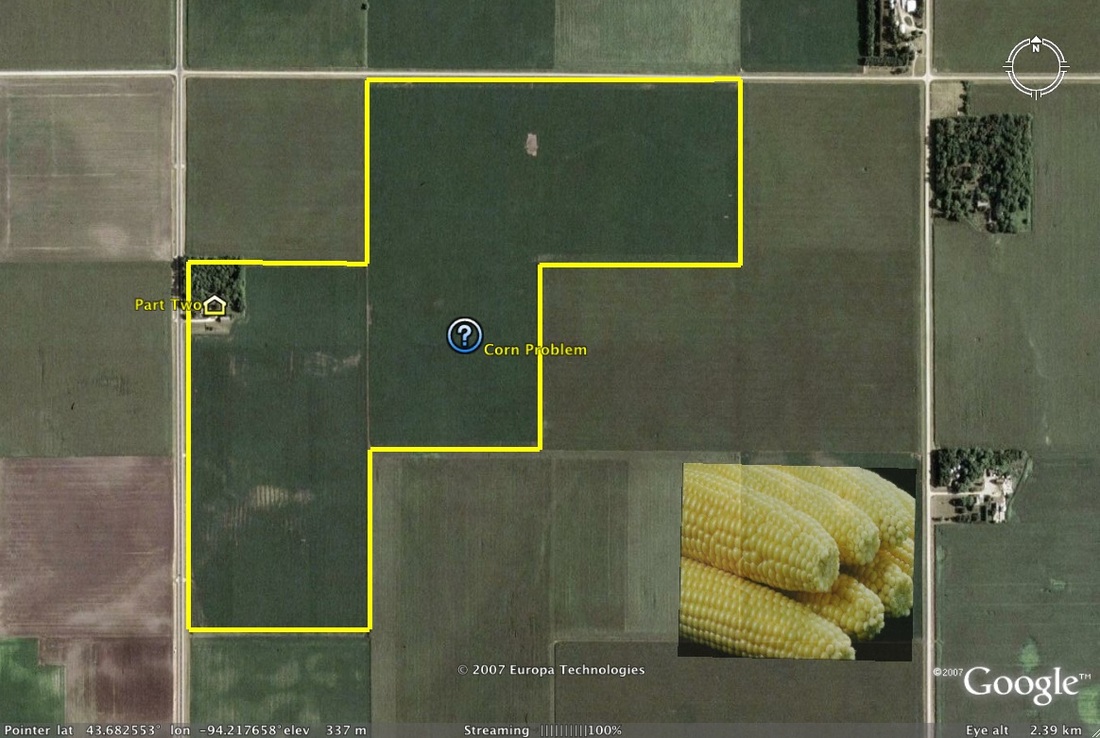
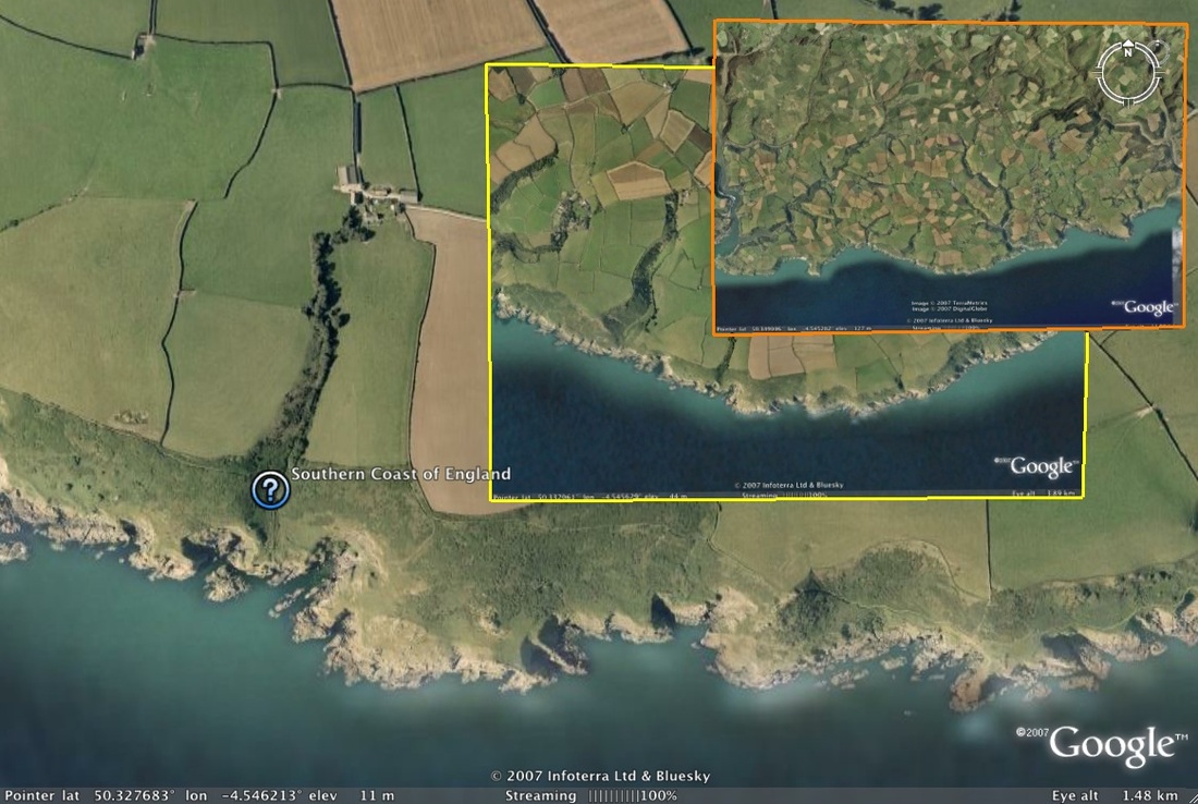
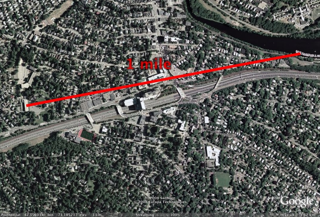
Most educators would assume measurement to be the obvious use of Google Earth in math lessons.  The ruler tool is versatile in that it can measure distances in centimeters, yards, miles, and other units.  These lessons will go beyond simple measurement of point A to point B and demonstrate how linear measure can be applicable to real world problems.

Students will need to use the ruler tool in a variety of situations.  As such, they should be instructed in its use.  Review how to select and deselect the tool, change the units of measure, and how to measure with accuracy.  Some problems may require the measurement of great distances and so students should be shown how to rotate the globe with the keyboard arrow keys as they measure.

Additional assistance on the ruler tool can be found on the Tool Kit page and also within the Google Earth Help topics.

Lesson Menu

Farm Crop Circles

Crop Circles

Farm Picture

Complex Area

Picture

Tsunami Warning

Br

Fractal Coastline

Measurement  Picture

Estimating Distances

Creative Commons License
This work is licensed under a Creative Commons Attribution-NonCommercial-ShareAlike 3.0 Unported License.